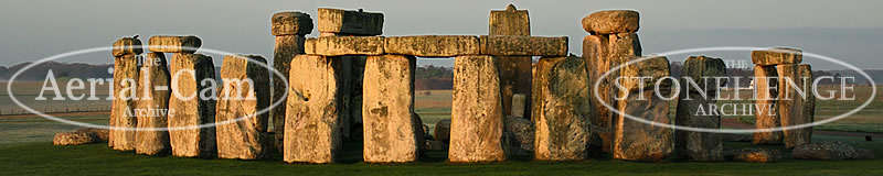
Adam Stanford has pioneered the use of UAS for survey to both prospect for and record archaeological evidence.
Providing solutions with various image capture platforms and multiple sensors since 2006.
Archaeology and Heritage Consultancy. ASGS collaborates with a team of specialist Archaeologists to provide
bespoke solutions using the best and most appropriate methods:
UAS (drone) Geospatial Surveys
GIS Analysis
Terrestrial Laser Scanning
Geophysical Surveys
Reports and assessments for planning
Written Schemes of Investigation (WSI)
Desk Based Assessments (DBA)
Heritage Impact Assessments (HIA)
Historic Building Recording (HBR)
Archaeological Field Work
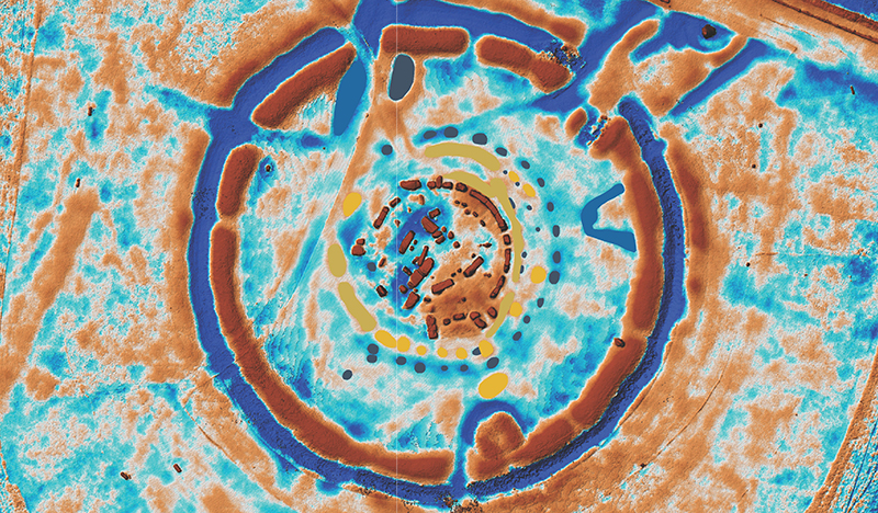
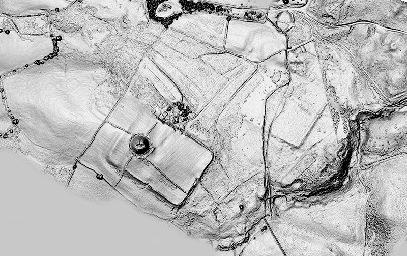
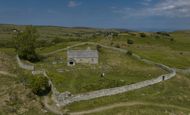
MONUMENT EARTHWORK SURVEY
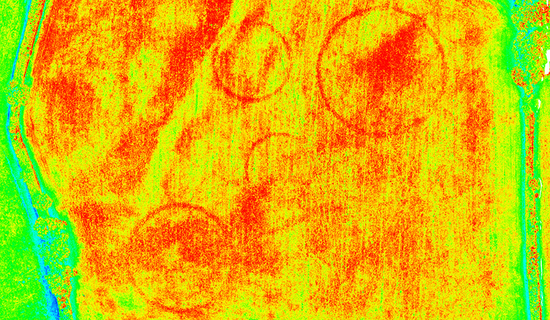
MULTISPECTRAL SURVEY
MICROTOPOGRAPHIC EARTHWORK SURVEY
HISTORIC BUILDING RECORDING (HBR)
ARCHAEOLOGICAL STRIP MAP AND SURVEY
ARCHAEOLOGICAL PROJECT PHOTOGRAPHY
VOLUME CALCULATION SURVEY
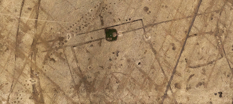
CROP AND PARCHMARK SURVEY
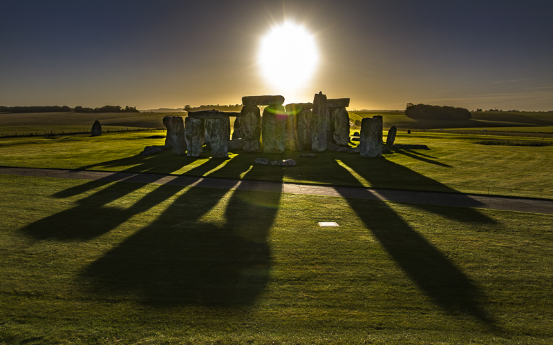
AERIAL FILMING AND PHOTOGRAPHY
ASGS Ltd is part of a group of independent heritage and archaeological providers who collaborate to deliver a wide range of services
within the heritage sector. Our strength is in our wide-ranging experience and expertise which allows us to provide
comprehensive, professional, and focused advice, service, and value to developers, architects, local authorities,
government institutions, and local community groups.